Interpretation of live traffic info on Audi Navigation

psychopomp1

Registered User
Joined
Dec 25, 2011
Messages
834
Reaction score
251
Points
63
Location
NULL
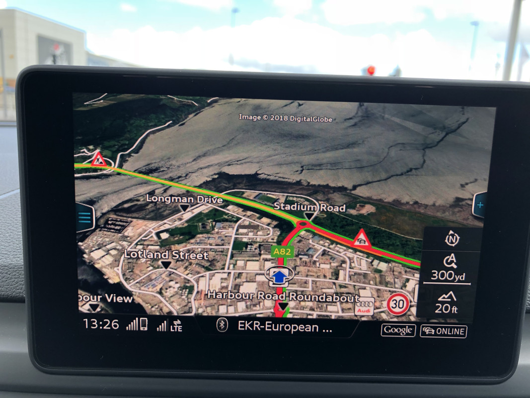
Could someone pls explain to me what the various road colours on the Navigation system mean? I was under the impression that red meant roads with heavy traffic or jams but it seems the red colour just appears randomly and doesn't represent reality on the roads. I've also had red appear at 1am on major roads near me which don't have a car in sight!!


Cheers
 
I dunno about the A4 yet, but on my A6, the colours for traffic conditions vary between the Google Earth map and the Traffic map. Red on the traffic map means heavy traffic, while on Google Earth it indicates a main road. Traffic severity on Google is indicated by hatched shading.
Have you checked the manual for their meanings?
 
  • Like
Reactions: psychopomp1
I'd have said the complete opposite DaveW. The other day, using Google maps with a route programmed (i.e. not just showing the map for fun), I was definitely getting the red border in all the right places...…..I think:tearsofjoy: I'm sure I was. I thought the Audi map only had different colours based on road type. Not really a useful comment I suppose.
 
  • Like
Reactions: psychopomp1
As far as I can tell, the central line colour on Google Maps is the road type and the thinner green/amber/red lines on each side of it indicate the traffic situation. In your picture you can see the read road leading up to the roundabout has an amber strip to show that there's slow moving traffic leading up to it (possibly because of the construction) but that there's a clean route out in all directions...
 
  • Like
Reactions: psychopomp1
A few weeks back on my way home from Aberdeen there was a road closure and it came up on google maps as a red hatched stretch of road with road closed signs at either end of where the closure was. It was pretty damn accurate and very quick to appear, given that it was a vehicle on fire that had closed a section of the A96. It also showed the diversion as having heavy traffic.
 
  • Like
Reactions: Daggerit and psychopomp1
As far as I can tell, the central line colour on Google Maps is the road type and the thinner green/amber/red lines on each side of it indicate the traffic situation.

Thanks, that probably explains it! I think the confusion arose when, like in standard google maps, I assumed red meant heavy traffic only. But with Audi's mapping overlaid with Google Earth, it seems red is used for both road type and traffic conditions.
 
Last edited:
  • Like
Reactions: Daggerit
Live traffic is hit and miss. Sometimes it picks up traffic jams etc accurately and then does nothing. Other times it picks it up and re-routes you. Whilst other times it doesn’t pick it up at all!
 
I’ve also found live traffic to be too hot and miss to be relied upon. For longer journeys, I tend to use Apple Maps through CarPlay.


Sent from my iPhone using Tapatalk
 
I’ve also found live traffic to be too hot and miss to be relied upon. For longer journeys, I tend to use Apple Maps through CarPlay.


Sent from my iPhone using Tapatalk

Will be able to use Waze and Google maps soon through CarPlay! :D
 
What would be really, really useful is if you could also view the satellite imagery from Apple Maps or Google Maps app on your MMI screen. But then I suppose Audi wouldn't really like that, as it would mean their Google Earth feature (via Audi Connect) would become obsolete...
 
What would be really, really useful is if you could also view the satellite imagery from Apple Maps or Google Maps app on your MMI screen. But then I suppose Audi wouldn't really like that, as it would mean their Google Earth feature (via Audi Connect) would become obsolete...
Isn't that what the smartphone interface does?
 
Isn't that what the smartphone interface does?
Nope, when I tried out Apple Carplay the other day, I wrongly assumed the MMI screen would be a mirror image of my iphone when using Apple maps. Apple Maps app on the MMI screen just displays the standard mapping, you cannot overlay it with satellite imagery like you can on your iphone. I magine the same applies to those using Google Maps in MMI via their Android Smartphone, ie not possible to overlay imagery on maps.